


About Us
Best Survey Instruments Dealer - Get at Best Price All Over India!
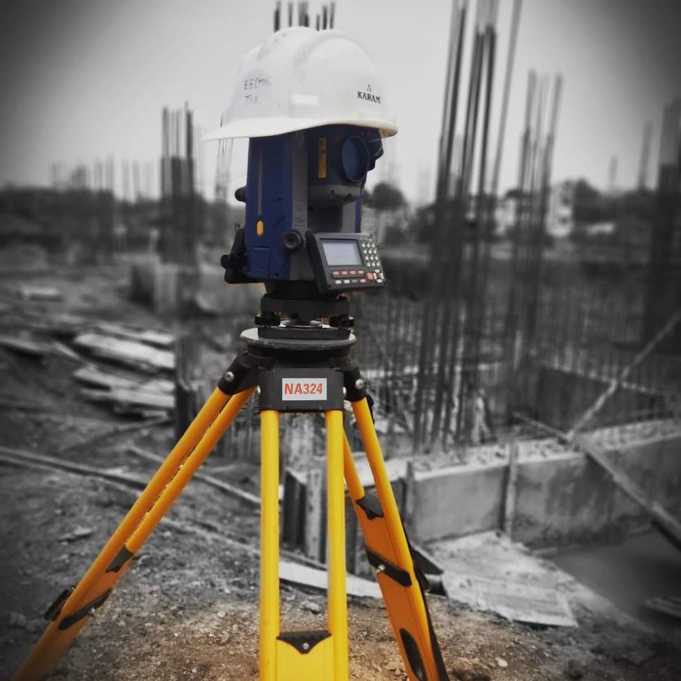
Level Tech is a renowned company that specializes in providing high-quality leveling and alignment solutions to a variety of industries. With over 12 years of experience in the field, we have established ourselves as the Best Survey Instrument Dealer in All Over India, offering a wide range of precision instruments, including Auto Levels, Total Stations, GNSS receivers, Hand-Held GPS and more. At Level Tech, we take pride in offering both manual and automatic leveling systems, advanced digital displays, and user-friendly interfaces to ensure the most precise results possible.
- Survey Instruments Supply.
- 24/7 Full Support.
- Professional And Experienced Staff.
- Experienced Calibration Service
Our New Launch Products
Excited to See Our Newly Launched Products
Explore our innovative new range of precision land survey instruments designed to enhance accuracy and efficiency in every project.
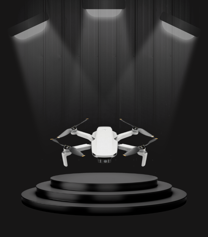
Surveying Drone - V1
Brand: Surveyaan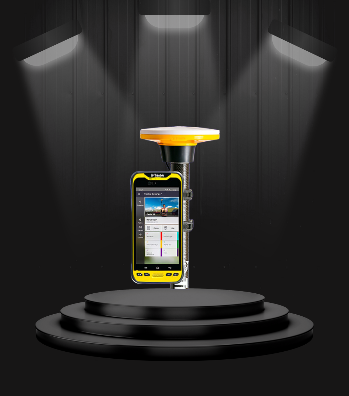
Trimble DA2
Brand: Trimble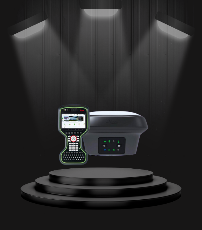
Leica GNSS 18
Brand: Leica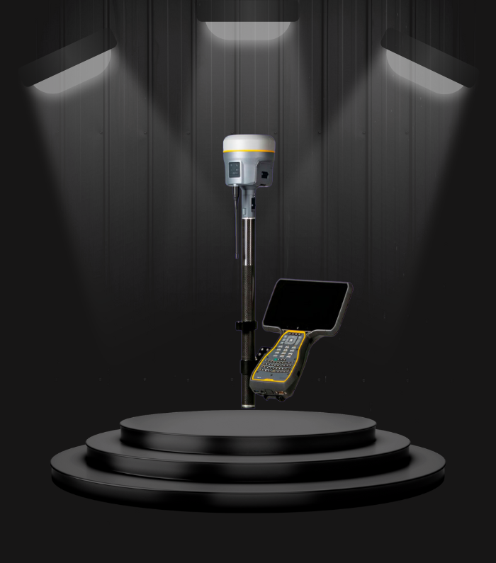
Trimble R12
Brand: TrimbleWhy Choose Us?
We Are Here to Supply Survey Equipements For Your Needs
As a leading Survey Instrument Dealer, we provide top-quality instruments and personalized support to ensure you achieve precise and reliable results.

Professional Staffs
We Provide experienced qualified surveying staff to deliver accurate results for your project needs.


Dealers of Top Brands
We are the Authorized Dealers in the City For the Top Brands Like Leica and Sokkia

Best In Industry
Experience the Best Survey Equipements in industry with Survey Instrument Provider LevelTech!
Professional Staffs
We Provide experienced qualified surveying staff to deliver accurate results for your project needs.
Dealers of Top Brands
We are the Authorized Dealers in the City For the Top Brands Like Leica and Sokkia
Best In Industry
Experience the Best Survey Equipements in industry with Survey Instrument Provider LevelTech!
Professional Staffs
We Provide experienced qualified surveying staff to deliver accurate results for your project needs.
Our Dealing Brands
Explore Our List of Brand We Dealing
Explore high-flying precision with Level Tech's top-tier brands like Sokkia, Leica, Garmin, Trimble, CHCNAV, and more! From cutting-edge surveys to reliable geospatial gear, we deliver excellence across India.
- Leica Geosystem
- Sokkia Global
- CHCNAV
- Trimble
- Garmin

Trimble

Garin

Sokkia Global
Leica Geosystem
CHCNAV
Trimble
Garin
Sokkia Global
Leica Geosystem
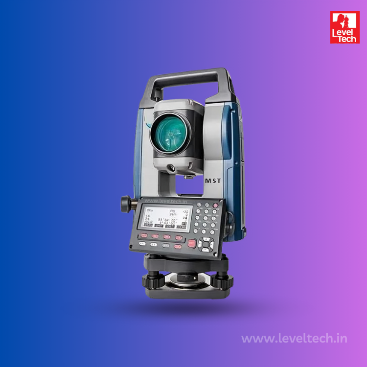
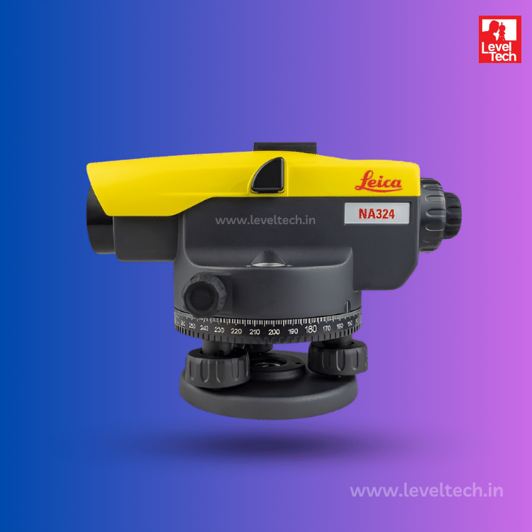
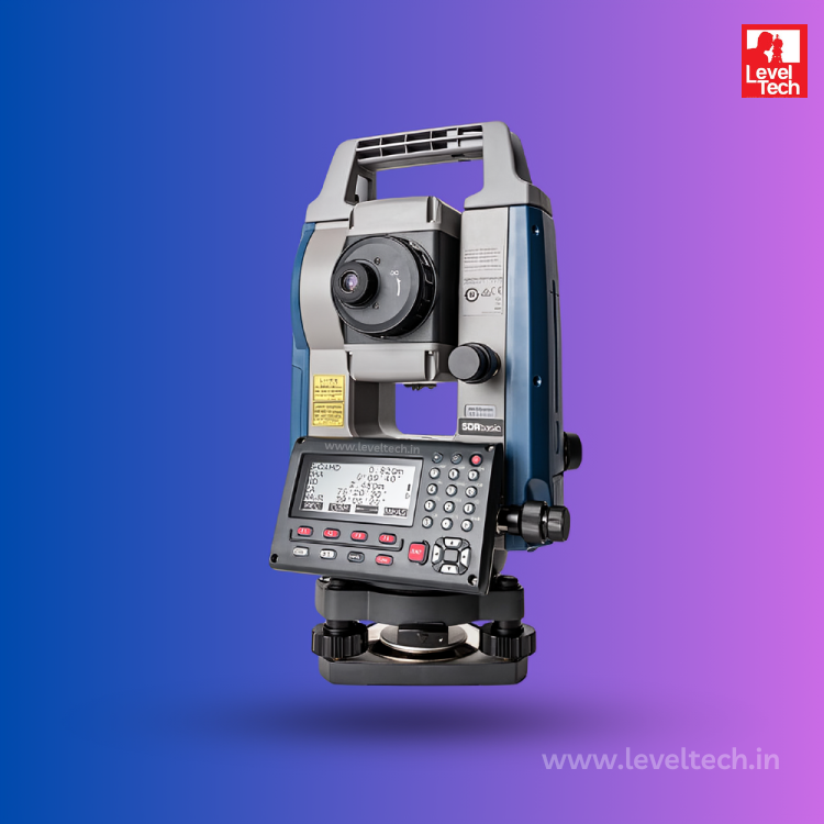
Our Trending Products
Our Trending & Top Rated Survey Insutruments
Discover the best in survey instruments with Level Tech. As your trusted Survey Instrument Dealer, We showcase Trending and Top-rated Equipment tailored to your needs.

Client Review
Look What Our Clients Say About Our Products
Hear from our satisfied clients about their experiences using our advanced land survey instruments.
"The Garmin Etrex GPS device from Level Tech has been essential tool for my outdoor adventures - rugged, and easy to use."

Mr.Venkatesh
Garmin Etrex"The Survey Drones from Level Tech have revolutionized the way we gather data in the field - efficient, precise, and cost-effective."

Mr.Subash
surveying Drone"Buying Sokkia Total Station from Level Tech was a game changer for my surveying business - efficiency at its best!"

Mr.Gopalakrishnan
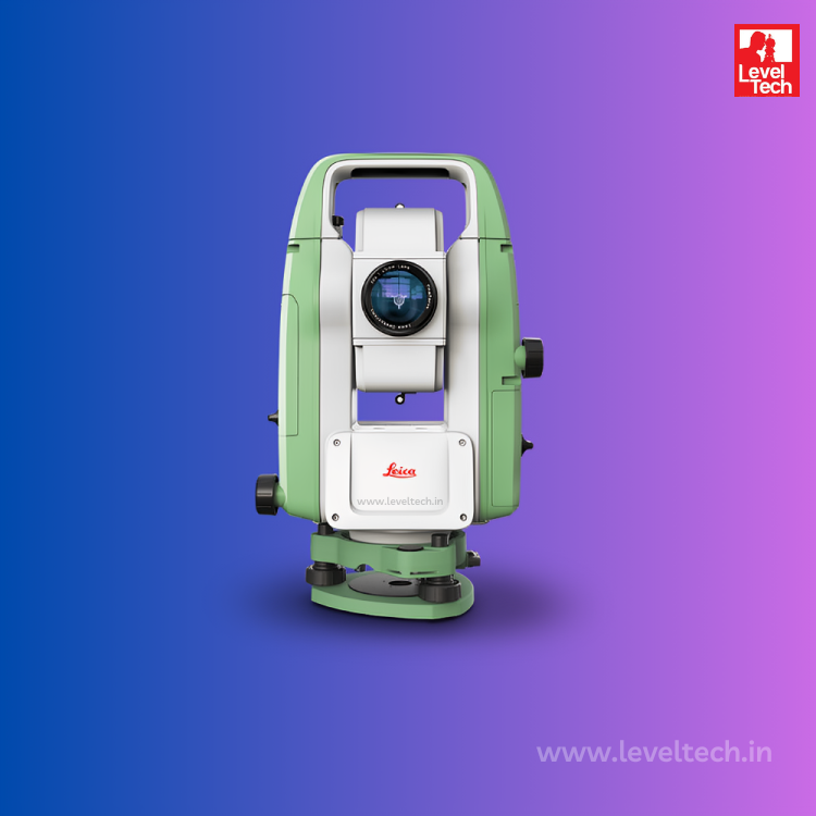
Sokkia Total Station"Leica Auto Level purchased from Level Tech helped me to achieve accurate and reliable measurements effortlessly."

Mr.Thiyaneesh
Leica Auto Level"The Garmin Etrex GPS device from Level Tech has been essential tool for my outdoor adventures - rugged, and easy to use."
Mr.Venkatesh
Garmin Etrex"The Survey Drones from Level Tech have revolutionized the way we gather data in the field - efficient, precise, and cost-effective."
Mr.Subash
surveying Drone"Buying Sokkia Total Station from Level Tech was a game changer for my surveying business - efficiency at its best!"
Mr.Gopalakrishnan
Sokkia Total Station"Leica Auto Level purchased from Level Tech helped me to achieve accurate and reliable measurements effortlessly."
Mr.Thiyaneesh
Leica Auto LevelRecent News
Explore All Latest about Land Surveying
Explore our Blogs and Newsroom

Sokkia IM 100: The Solution for Precision Measurement
- Level Tech
- Feb 14, 2024
In today’s rapidly evolving technological landscape, precision measurement tools play a pivotal role in various industries,
read more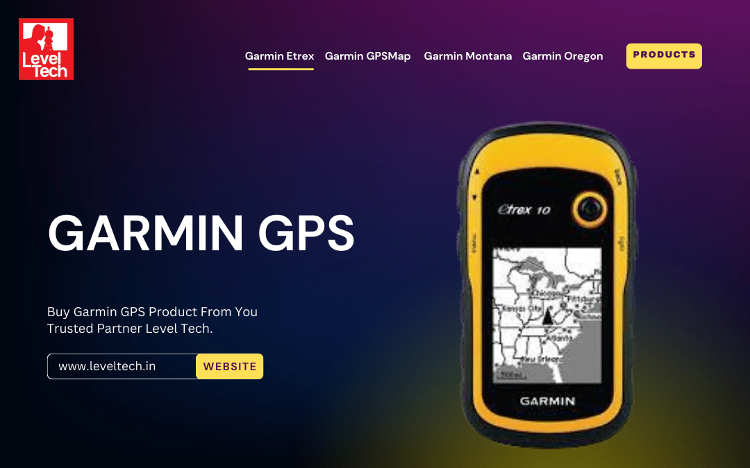
Level Tech Garmin GPS - Excellence Explored
- Level Tech
- Dec 22, 2023
- Tags :
- GPS,
- Garmin,
- Garmin GPSMAP,
Welcome to Level Tech, your go-to destination for top-quality survey instruments in Chennai.
read more
Tip & Tricks 13 Property Selling & Buying
- Abdul Jabber
- March 21, 2023
- Tags :
- Sold,
- Featured,
- Real State
Lorem ipsum dolor sit amet, consectetur adipiscing elit. Curabitur eleifend a massa rhoncus gravida Nullam.
read more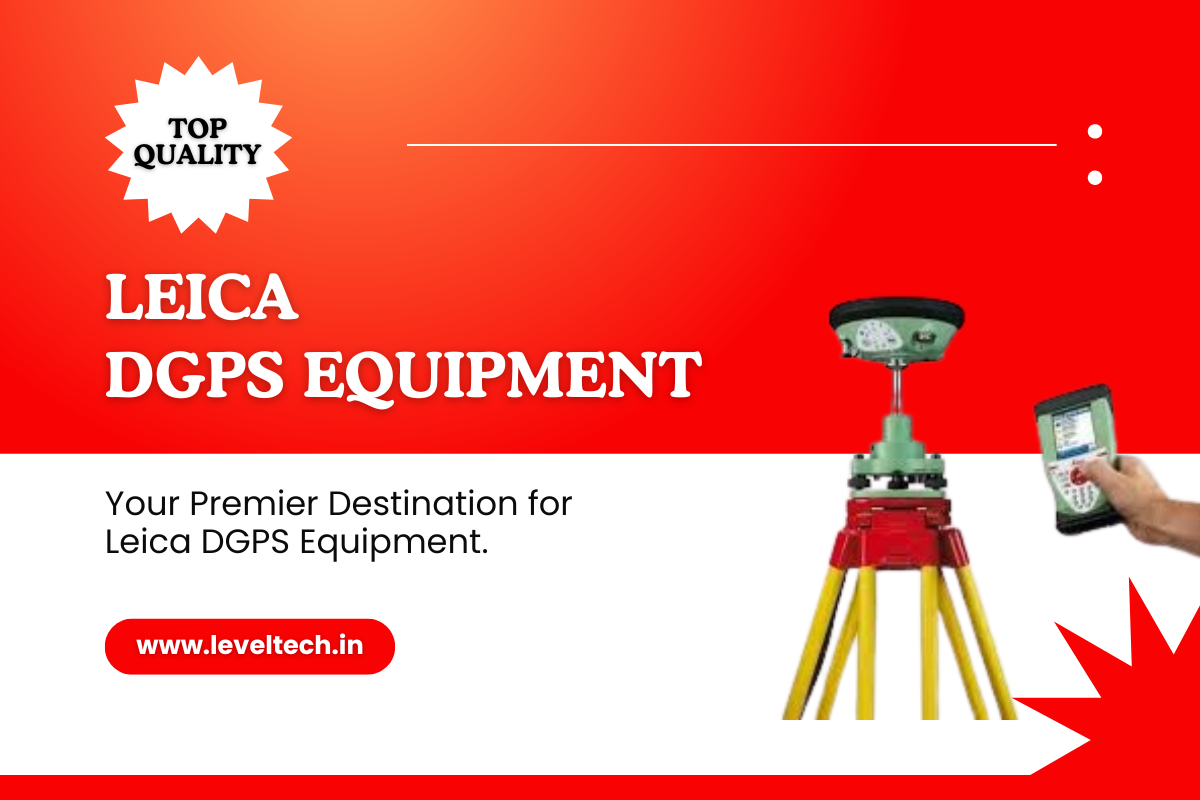
Level Tech - Premier Destination for Leica DGPS Equipment
- Level Tech
- May 10, 2024
- Tags :
- DGPS,
- Leica,
- DGPS Survey
At Level Tech, we take pride in being your go-to destination for cutting-edge geospatial technology.
read moreSokkia IM 100: The Solution for Precision Measurement
- Level Tech
- Feb 14, 2024
In today’s rapidly evolving technological landscape, precision measurement tools play a pivotal role in various industries,
read moreLevel Tech Garmin GPS - Excellence Explored
- Level Tech
- Dec 22, 2023
- Tags :
- GPS,
- Garmin,
- Garmin GPSMAP,
Welcome to Level Tech, your go-to destination for top-quality survey instruments in Chennai.
read moreTip & Tricks 13 Property Selling & Buying
- Abdul Jabber
- March 21, 2023
- Tags :
- Sold,
- Featured,
- Real State
Lorem ipsum dolor sit amet, consectetur adipiscing elit. Curabitur eleifend a massa rhoncus gravida Nullam.
read moreLevel Tech - Premier Destination for Leica DGPS Equipment
- Level Tech
- May 10, 2024
- Tags :
- DGPS,
- Leica,
- DGPS Survey
At Level Tech, we take pride in being your go-to destination for cutting-edge geospatial technology.
read moreSokkia IM 100: The Solution for Precision Measurement
- Level Tech
- Feb 14, 2024
In today’s rapidly evolving technological landscape, precision measurement tools play a pivotal role in various industries,
read moreLevel Tech Garmin GPS - Excellence Explored
- Level Tech
- Dec 22, 2023
- Tags :
- GPS,
- Garmin,
- Garmin GPSMAP,
Welcome to Level Tech, your go-to destination for top-quality survey instruments in Chennai.
read more


Our Faq
Frequently Asked Question
Get In Touch
Contact Us to Know More.
Contact Info
Chennai Location
No: 4/15 Sri vari Nilayam, Ground Floor,
9th St, Jai Nagar, Arumbakkam, Chennai. Pincode: 600106
Phone Number
+91 99768 46909
Mail Address
leveltech12@gmail.com
Hyderabad Location
Plot No: 6-3-852/2/B/6/A/1 - Second Floor,
Aparajitha Society, Ameerpet, Hyderabad. Pincode: 500016
Phone Number
+91 96180 28909
Mail Address
leveltech12@gmail.com