What is DGPS Land Survey?
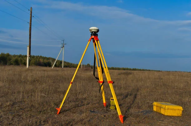
DGPS (Differential Global Positioning System) Land Survey is an advanced surveying technique that enhances the accuracy of GPS data. It utilizes correction signals from ground-based reference stations to improve positional accuracy, making it ideal for high-precision land surveying applications.
This method is widely used in construction, infrastructure development, agriculture, and environmental studies to ensure precise mapping and land measurement.
Why Do We Need DGPS Land Surveying?
DGPS Land Surveying plays a crucial role in various industries due to its high accuracy and reliability. Here’s why it is essential:
Accurate Land Mapping – Provides precise boundary and topographic mapping.
Construction Planning – Ensures accurate land measurements for buildings, roads, and infrastructure.
Agricultural Planning – Helps in farm layout, soil analysis, and precision farming.
Land Dispute Resolution – Determines exact land boundaries for legal purposes.
Environmental Studies – Monitors land changes and assists in natural resource management.
What Does a DGPS Land Survey Cover?
A comprehensive DGPS Land Surveying Service includes:
Boundary and Topographic Surveys – Mapping property lines, elevation, and terrain features.
Highway Road Surveys – Assisting in highway and civil engineering projects.
Agricultural Land Surveys – Measuring and analyzing farmland for better planning.
Environmental and Forest Surveys – Mapping landscapes for ecological studies.
Level Tech - DGPS Land Surveying in Chennai & Northern Tamil Nadu
At Level Tech, we specialize in DGPS Land Surveying Services in Chennai and across Northern Tamil Nadu. With cutting-edge technology, a skilled team, and a commitment to accuracy, we provide highly precise land surveying solutions tailored to your needs.
Why Choose Level Tech?
-
-
Experienced Surveying Experts
-
Quick Turnaround Time
-
Affordable Cost & Reliable
Whether you need a DGPS Land Surveying Service in Chennai for construction, agriculture, or legal land disputes, Level Tech is your go-to solution. Contact us today for professional land surveying services!
Contact Us
Our Address
No: 4/15 Sri vari Nilayam, Ground Floor,
9th St, Jai Nagar, Arumbakkam, Chennai