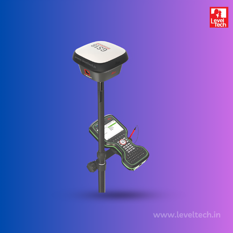
The Leica GNSS instrument is a state-of-the-art geospatial solution designed to provide highly accurate positioning data for wide range of applications. Whether you are involved in surveying, mapping, or any other field that requires precise location information, the Leica GNSS instrument is engineered to meet your needs with unmatched performance and reliability.
Level Tech is proud to be a leading dealer and supplier of the Leica GNSS instrument across India. With a commitment to providing top-quality products and exceptional customer service, Level Tech ensures that professionals in various industries have access to the best geospatial solutions available.
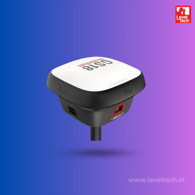
The Leica GS18 GNSS is a revolutionary product in the field of geospatial technology, offering unparalleled accuracy and reliability.
The Leica GS18i GNSS is a cutting-edge instrument designed for precise and efficient geospatial data collection.
The Leica GS18T GNSS is a cutting-edge device designed for precision and efficiency in geospatial data collection.
The Leica Viva GS16 GNSS is a versatile and high-precision surveying instrument, Featuring advanced RTK technology, it ideal for including construction, and mapping.
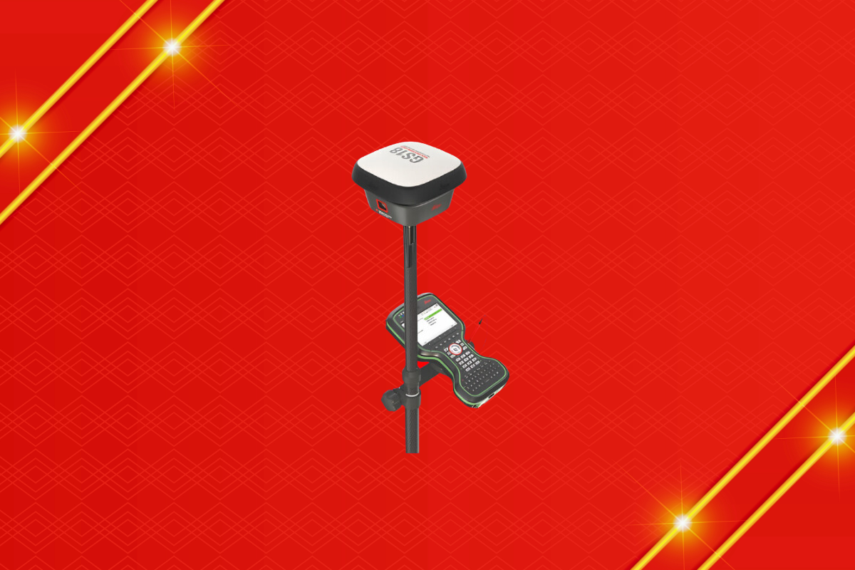
The Leica GS18 GNSS is a revolutionary product in the field of geospatial technology, offering unparalleled accuracy and reliability.
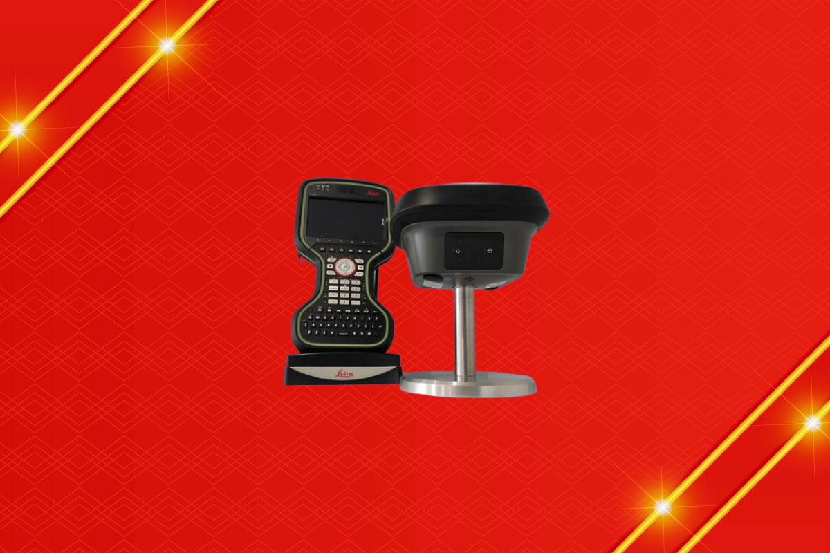
The Leica GS18i GNSS is a cutting-edge instrument designed for precise and efficient geospatial data collection.
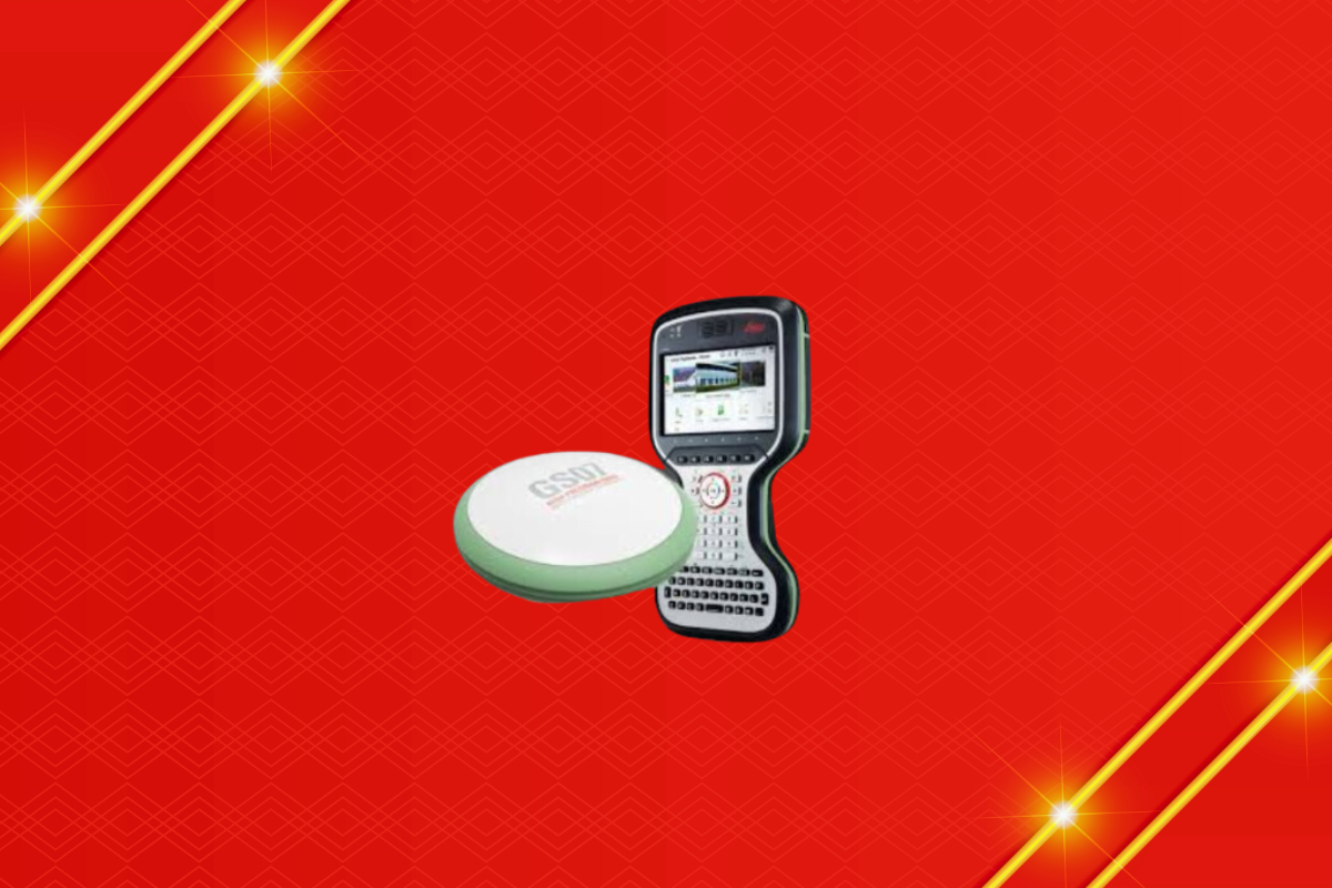
The Leica GS18T GNSS is a cutting-edge device designed for precision and efficiency in geospatial data collection.
The Leica Viva GS16 GNSS is a versatile and high-precision surveying instrument, Featuring advanced RTK technology, it ideal for including construction, and mapping.
The Leica GS18 GNSS is a revolutionary product in the field of geospatial technology, offering unparalleled accuracy and reliability.
The Leica GS18i GNSS is a cutting-edge instrument designed for precise and efficient geospatial data collection.
The Leica GS18 GNSS is a cutting-edge surveying tool designed for precise and reliable geospatial data collection. Combining GNSS technology with advanced IMU (Inertial Measurement Unit) capabilities, this device ensures accuracy even in challenging environments. Surveyors can count on the GS18 for top-notch performance, whether they're working in dense urban areas or rugged terrains.
What sets the Leica GS18 apart is its ease of use and efficiency. The seamless integration of tilt compensation eliminates the need for precise leveling of the pole, significantly speeding up the data collection process. Users benefit from real-time measurements and enhanced productivity, making the GS18 an indispensable asset for any surveying project. Its robust design ensures durability and longevity, providing a reliable solution for professionals.
For those looking to invest in the Leica GS18 GNSS, Level Tech stands out as the premier dealer. With over a decade of experience in the field, Level Tech offers unparalleled expertise and customer support. Their commitment to quality and client satisfaction makes them the go-to choice for surveyors seeking the best in GNSS technology.
The Leica GS18i GNSS is revolutionizing the way professionals capture and manage spatial data. This cutting-edge tool combines advanced GNSS technology with an integrated IMU, allowing for high-accuracy positioning even in challenging environments. With its innovative tilt compensation, users can measure points in previously inaccessible locations without the need for leveling the pole, significantly increasing efficiency and productivity in the field.
Equipped with the Leica Captivate software, the GS18i offers a user-friendly interface that simplifies complex data collection and management tasks. The system supports a wide range of applications, from surveying and construction to agriculture and environmental monitoring. Its robust design ensures reliable performance in various weather conditions, making it an indispensable tool for any project requiring precise geospatial data.
When it comes to purchasing the Leica GS18i GNSS, Level Tech stands out as the top dealer. With over 10 years of experience in the industry, Level Tech has built a reputation for providing exceptional customer service and expert support. Their team of knowledgeable professionals ensures that clients receive the best solutions tailored to their specific needs, making Level Tech the go-to choice for top-quality geospatial equipment.
The Leica GS18T GNSS is a state-of-the-art surveying tool designed for precision and efficiency. Its revolutionary tilt compensation technology allows users to capture accurate data without the need to hold the pole perfectly vertical, saving time and reducing the potential for errors. This system combines GNSS and IMU (Inertial Measurement Unit) to deliver reliable results even in challenging environments, ensuring seamless performance whether you're in an urban canyon or a dense forest.
Engineered with user convenience in mind, the Leica GS18T GNSS is lightweight and robust, making it easy to transport and durable enough for tough job sites. Its intuitive interface and seamless integration with other Leica systems enhance productivity, allowing surveyors to work faster and more accurately. The GS18T also supports a wide range of applications, from cadastral surveys to construction and engineering projects, making it a versatile choice for professionals in various fields.
With over a decade of experience in the industry, Level Tech stands as a premier dealer of the Leica GS18T GNSS. Their expertise and commitment to customer satisfaction ensure that clients receive not only the best products but also unparalleled support and service. Trust Level Tech to provide the guidance and resources needed to maximize the potential of the GS18T GNSS, making them the top choice for all your surveying equipment needs.
The Leica VIVA GS16 GNSS is a game-changer for professionals requiring precise positioning technology. This cutting-edge smart antenna delivers high accuracy and reliability, making it perfect for challenging environments. Its integrated RTK (Real-Time Kinematic) capabilities ensure rapid and accurate data collection, streamlining workflow and enhancing productivity for surveyors, engineers, and geospatial experts.
This advanced GNSS system boasts seamless connectivity and intelligent design, enabling easy setup and use. The GS16’s multi-frequency, multi-constellation support ensures superior performance even in obstructed areas, while its rugged build withstands harsh conditions. Its flexibility in supporting a variety of applications makes it an invaluable tool for projects ranging from construction to environmental monitoring
When it comes to purchasing the Leica VIVA GS16 GNSS, Level Tech stands out as the premier dealer. With over a decade of experience in the industry, they have built a reputation for providing top-tier service and expertise. Their knowledgeable team ensures you get the most out of your investment, offering comprehensive support and tailored solutions to meet your specific needs. Trust Level Tech for a seamless purchasing experience and unmatched industry insight.